Interpolation of SHP Points file with GRASS GIS to convert to DEM GeoTIFF
Bas den Brok - mapping course
Quick notes to remember what needs to be done
Understanding of some QGIS incl. GRASS GIS required.
Easy.
We have a shp points file and we want to make a DEM in GEOtiff format from it using GRASS in QGIS. So we open a new QGIS project
(I use QGIS Desktop 3.26.2 Buenos Aires) and then a GRASS Mapset:
Plugins > GRASS > Open Mapset
Of course this Mapset should have the right coordinate system (CRS) otherwise you have to make a new one:
Plugins > GRASS > New Mapset
You then open the GRASS tools:
Plugins > GRASS > Open GRASS Tools
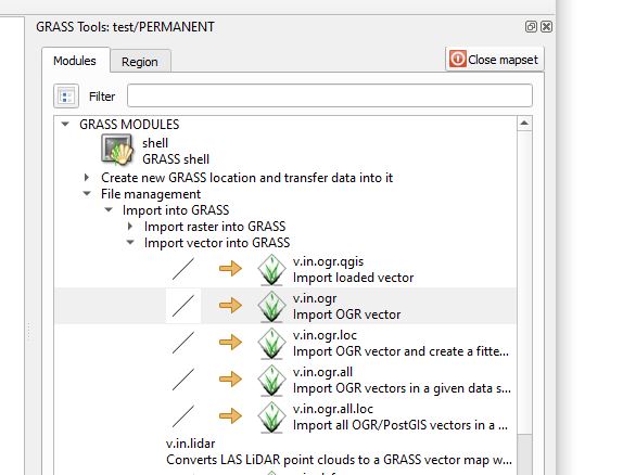
We now import the shape file in GRASS:
GRASS Tools > GRASS MODULES > File management > Import into GRASS > Import vector into GRASS > Import OGR vector
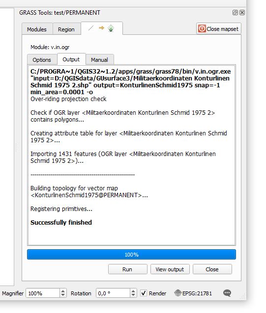
You enter the name of the source file (shape file) and the name of the target file and press RUN.
If everything goes fine you we see this:
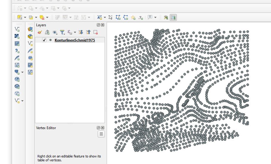
You press view output and the map will appear:
Turn back to the GRASS Tools window. Close the window with the successfully finished import session
and open the next module:
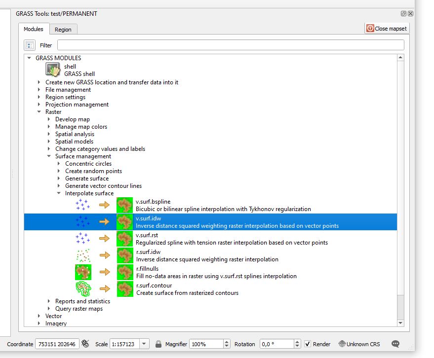
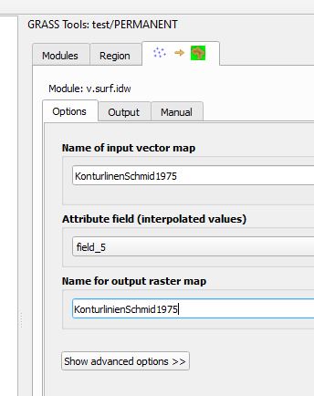
GRASS Tools > GRASS MODULES > Raster > Surface Management > Interpolate surface
and chose the desired method. We use: Inverse distance squared weighting raster interpolation based on vector points
It is important to check the right attribute field, i.e. the field with the altitudes (elevations) which
is filed number 5 in our case.
Then press RUN and when successfully finished: View output.
The result will look like this:
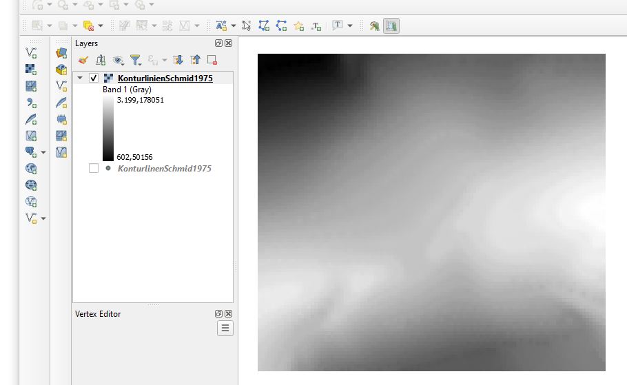
You see that the highest point of the DEM (in this case the Glarus Thrust in Map sheet Elm) is ca. 3199 m high (white) and the lowest point ca. 602 m (black).
Save the result as a GEOtiff by right-clicking on the layer in the Layers window:
Export > Save as
And save as GeoTIFF. That was very easy. You only needed to know.